Harvestor

From Seed to Harvest Data Collection

Welcome to the Harvestor landing page

The Harvestor is an application for finding botanical information on different types of seeds. Additionally, a localized growth season can be estimated based off a provided latitude & longitude, and/or any stored farmer's almanac information regarding the region.

From Seed to Harvest


Name Type Days to Harvest Germination Sow Before Lines Rows Depth Notes
Asparagus Green 725 56 05-12 3 18 0.5 Notes
Broccoli Calabrese 70 10 07-22 18 24 0.125 Notes
Corn Gold Bantam 85 10 07-07 4 24 1.0 Notes
Corn Hopi Blue 110 10 06-12 4 24 1.0 Notes

World Map

Click on the map relative to your desired region, or alternatively, enter your latitude & longitude below. This data can help provide a very rough estimation of your growth season.


About

This webapp was made using Ruby on Rails, JS/HTML/CSS, and MariaDB!

My motivation for this project came from gathering information on different garden seeds in a spreadsheet. This spreadsheet, combined with a local farmer's almanac, would be my goto for information anytime I started planting and tending to a garden. One day I simply thought it'd be neat to automate this process with a computer application, thus here we are!

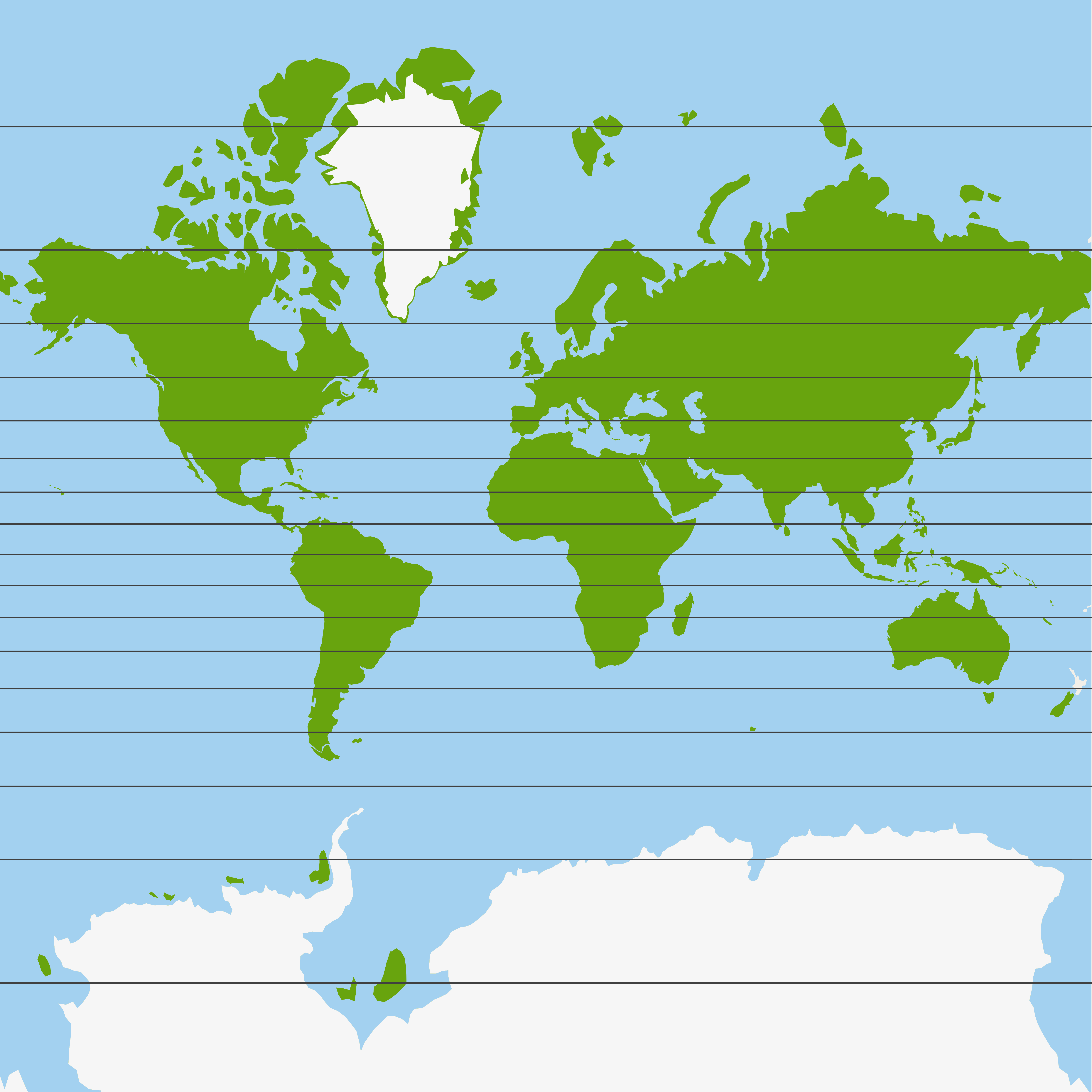
The World Map was created using the open-source QGIS software and Natural Earth datasets!
• https://www.qgis.org/
• https://www.naturalearthdata.com/

Elevation data is provided by the USGS Elevation Point Query Service!
•  How accurate are elevations from the USGS National Map?